Crisis meeting demand over High Moor access

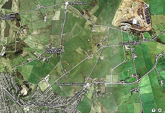
MAP showing the access roads to the tip (top right). The road in question is the one under the “C” in Scouthead. The junction in the accompanying picture is where this road joins Huddersfield Road. Image courtesy of Google Maps
© Chronicle Online
© Chronicle Online