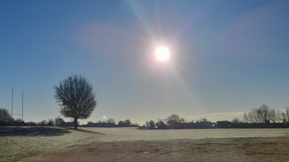
It's bitterly cold outside across Oldham at present, and that theme is set to continue as we head towards the weekend.
According to local weather expert Jon Baylis, we're under an Arctic airflow with days of frosts, some severe, ahead.
It will be cold enough to snow, but we need precipitation for that and the general theme for the coming days is mostly dry with the chance of a few disturbances in the atmosphere as low pressure will be close by.
Today (Thursday), sunny spells will continue during the day with some patchy cloud drifting down from the north later on, which could produce a few light snow flurries/showers.
Temperatures will struggle to get above freezing.
Tonight's temperature could well plummet to -6°C.
Tomorrow will see another sharp frost to start, and the day is likely to be an ice day for the most part.
Some bright spells beckon, but there is set to be more in the way of mist or fog, especially later, with patches of freezing fog setting in overnight.
Over the weekend it's set to be very cold again, and the risk of freezing fog is increasing.
There may even be a few light snow showers cropping up.
The next working week will start very cold and very similar to Sunday, albeit windier and with a biting wind to contend with too.
Make sure you stay wrapped up!
You can follow @ChadWeather on Twitter for the latest forecasts and warnings from Jon.