Heatwave to continue with muggy nights, but the breakdown is in sight
Date published: 07 September 2023

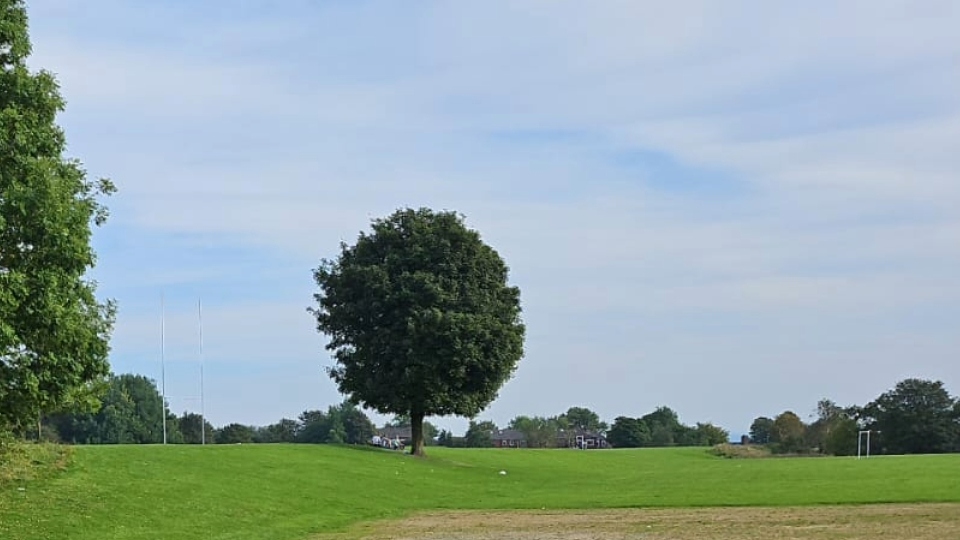
It's been another hot day in Oldham today (Thursday)
It’s not unusual to have nice weather either side of summer, normally in May and September.
So, having high pressure in place leading to wall-to-wall sunshine is no surprise, but the temperatures that we are experiencing, especially in the south-east of the UK are unusually high for the time of year.
According to Oldham weather expert Jon Baylis, this is down to the decent weather appearing early in September, so not further into Autumn, and also France and Spain are still hot, into the 30s.
The weather set-up is called an Omega block.
Some will call it an Indian Summer, and Jon used to, but that’s premature.
This is reserved for later in Autumn when a warm and dry spell follows the first frosts or the first killing-frost.
Scotland has already had frosts this September, but in England and Wales we are nowhere near that stage in our weather.
The humidity increased yesterday (Wednesday) so, if you haven’t moaned already, it’ll be too hot for some.
How long does it last?
Here’s your four-day forecast and a peek into the rest of next week.
Today (Thursday): Not as much sunshine as recently to start, with mid-level cloud, possibly sparking an isolated thundery shower.
However, these are more likely to stay out in the Irish Sea.
Into the afternoon further hot sunny spells will break through.
Max 27°C Min 17°C.
Friday: Light winds but with a misty/low-cloud start.
It won’t take long for hot sunny spells to burn through once more.
Max 29°C Min 17°C.
Weekend: Low pressure to the west increasing the instability, but the heat will still be around.
Saturday: Looks like the last day of some decent lengthy sunny spells.
After a misty start it will be another hot day as further hot air wafts up from the south.
Cloud will bubble up but the chance of a shower seems slim.
Humid and hot, possibly 30°C in some spots.
Max 29°C Min 18°C.
Sunday: One more day of the heatwave to come with hot sunny spells once more.
Cloud could well bubble-up enough to deliver some evening thunderstorms or a sharp shower.
Max 28°C Min 15°C.
Outlook: Low pressure replaces high pressure.
Bright spells, showers at times, some thundery, especially on Monday as the heatwave ends.
Cooler too with temperatures eventually back to maximums of only 19°C by midweek.
Not a washout, though, with some sunny periods as well as showers.
What will be noticeable though, will be the cooler nights, with lows close to single-figures.
Follow @ChadWeather on X (formerly Twitter) for the latest forecasts and warnings.
Do you have a story for us? Want to tell us about something going on in and around Oldham? Let us know by emailing news@oldham-chronicle.co.uk , calling our Oldham-based newsroom on 0161 633 2121 , tweeting us @oldhamchronicle or messaging us through our Facebook page. All contact will be treated in confidence.
Most Viewed News Stories
- 1Oldham and Tameside dance heritage project seeks local stories
- 2Oldham man says cancer charity support helped rebuild his life alongside NHS care
- 3Dr Kershaw’s Hospice returns for glamorous Ascot Ladies’ Day
- 4Local funeral home sets up a donation initiative to collect men’s clothing and accessories in...
- 5Oldham dad dies sparking serious safeguarding review


