High pressure hangs on
Date published: 21 August 2025

Here's Jon Baylis's latest in-depth weather forecast
Ex-hurricane Erin could well kick-start the Jet Stream next week, but there's lots of weather uncertainty at this stage.
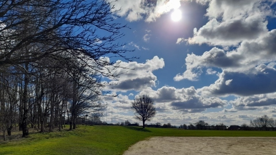
Meanwhile, high pressure will influence the weather for the foreseeable but with the location of the high, this will mean that we will still drag in some cloud which can be frustrating and also hard to predict when we will have breaks in the cloud, to feel some warm sunshine, just like recent days.
Oldham weather expert Jon Baylis insists we are still well below-average in terms of rainfall amounts.
The months following January have all been short of the average and we certainly need rain and it looks like it favours to turn unsettled after midweek next week.
A lot of uncertainty where ex-hurricane Erin will track next week.
Where it tracks will have a factor on what weather we will see, but it should help the Jet Stream get back into gear.
Here's Jon's latest in-depth forecast:
Today (Thursday): A cooler start than recently with some clear spells but again cloud is expected to increase, if it hasn’t already, leading to a dry day with limited brightness.
Max 18°C Min 10°C. Max Gusts 25mph.
Friday: Winds should be a little bit lighter and again another dry day with bright spells.
Some areas seeing more sunshine than others but difficult to predict where the clouds will break.
Max 19°C Min 13°C.
Long weekend: Warmer.
Saturday: Very little change compared to Friday, as in variable cloud amounts and with winds generally lighter.
If you are stuck under some cloud it could take some while before blue skies appear.
It will be slightly warmer though and if you do see some sunshine it will feel pleasant.
Max 20°C Min 12°C.
Sunday and Bank Holiday Monday: With summer coming to an end soon, meteorologically-speaking of course, this long weekend does look like an ideal time to have a BBQ and Jon would suggest that Sunday or Monday, would be the day as it is expected to be quite warm with more in the way of sunny spells developing helped by the wind switching to a southeasterly.
Max 21-23°C Min 14°C.
Outlook: Initially it looked like unsettled weather was going to arrive to our shores early next week, but now it looks like it will be delayed until Wednesday or Thursday.
Leading up to these days it is expected that we will not see any rainfall.
After that, the Atlantic will have more of an influence on our weather.
So at this stage Tuesday and Wednesday look dry with bright or sunny spells.
But we looked to the west for our weather for the second half of the week and I wouldn’t be surprised to see bands of showery rain arriving.
Overall it’s been a decent summer, but as Jon said, some rain would be welcome and it is also long overdue for our weather to turn unsettled.
Follow @ChadWeather on X and Bluesky for the latest forecast and warnings.
Do you have a story for us? Want to tell us about something going on in and around Oldham? Let us know by emailing news@oldham-chronicle.co.uk , calling our Oldham-based newsroom on 0161 633 2121 , tweeting us @oldhamchronicle or messaging us through our Facebook page. All contact will be treated in confidence.


