Forecasters are blaming the change in our weather on a powerful jet stream which has brought with it areas of low pressure resulting in the icy conditions.
Roads, including the Snake Pass, have been closed while the Woodhead Pass is understood to be passable with care this morning (Monday 11th March).
The Met Office is warning the cold snap is set to continue until around Wednesday with a Yellow Weather Warning being put in place for much of Greater Manchester including Oldham, Rochdale and Tameside.
They’ve said: “Widespread icy patches will develop on untreated surfaces Sunday evening and night.
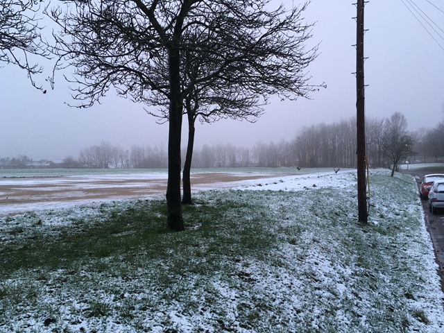
"Snow accumulations will tend to be largely confined to hills and mountains above 200-300 metres where a few cms snow is possible.
"At lower-levels, any accumulations of snow will tend to be quite small and patchy in nature with most areas not seeing any snow settling."
Once the snow and ice has cleared, believed to be on Monday, it’s going to be replaced with rain for the rest of the week and will still feel cold, temperatures aren’t due to get above eight degrees between now and Wednesday (13th March).